


A lake you can get to know by heart.
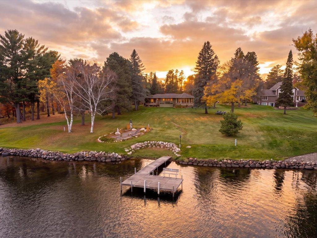
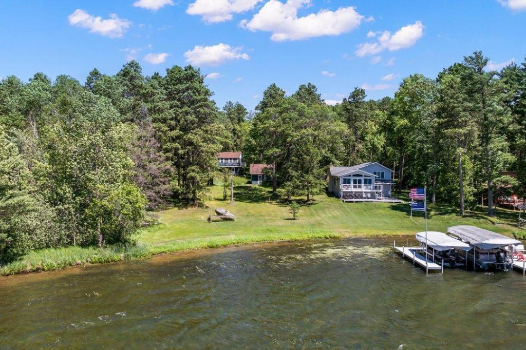
Imagine being on the water before breakfast, with enough room to run the boat and a familiar stretch of shore waiting when you come back. On Lower Hay Lake, the view from a screened porch can be as much a part of the day as the ride itself.
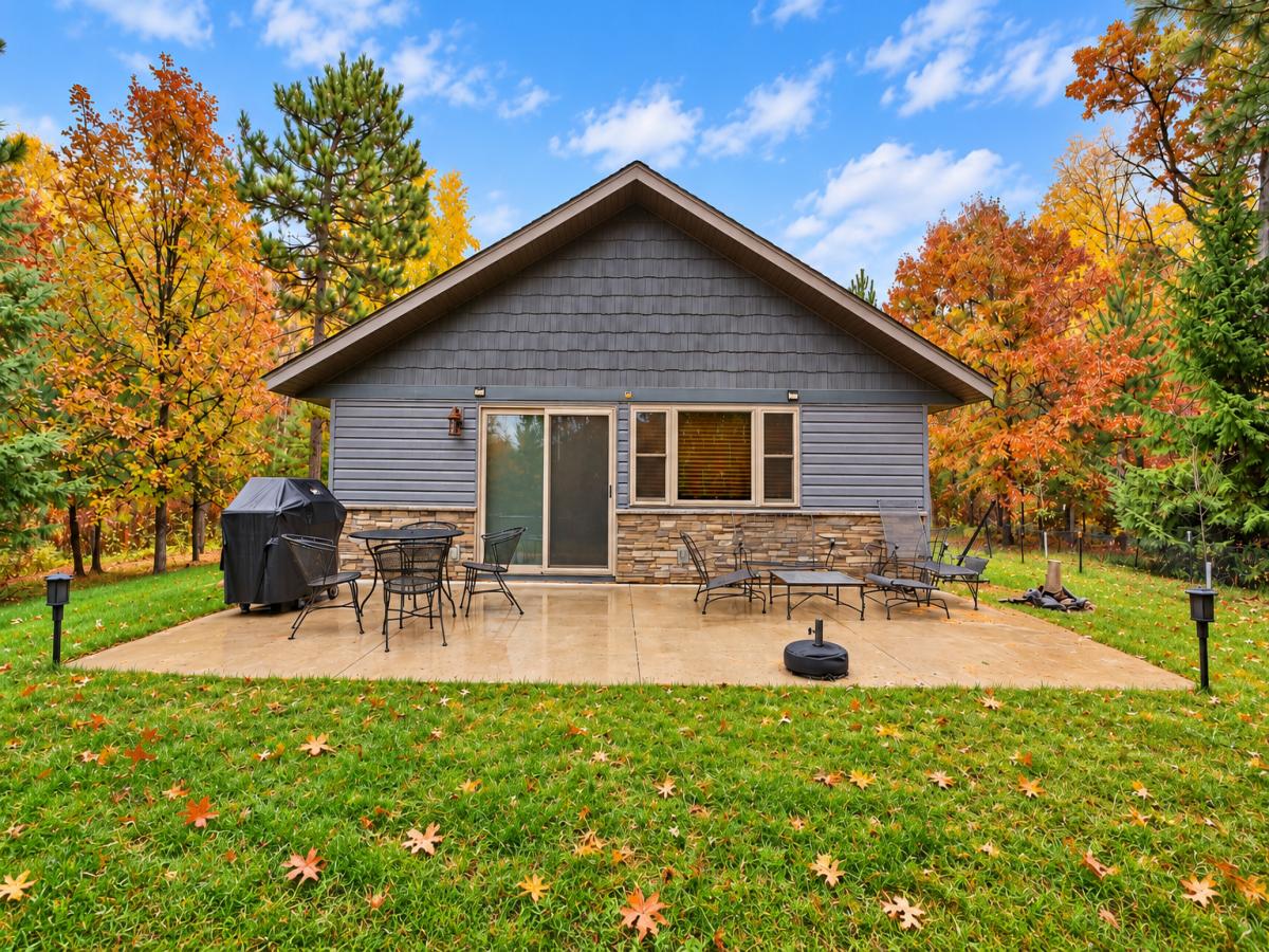
If you are choosing between a cabin and a year-round place, walk the yard as if you have already moved in. Where would you leave the life jackets to dry? Where would everyone sit when the light softens over the water?

Get your bearings.
Lower Hay Lake sits along the southwest side of Whitefish Lake. A channel leads to the main lake, and the public access gives you another way to get on the water while comparing properties.
Lower Hay Lake Real Estate


Recently Sold Listings on Lower Hay Lake


Lower Hay Lake at a glance.
| Surface area | 685 acres |
|---|---|
| Maximum depth | 100 feet |
| DNR lake ID | 18-0378-00 |
| Connected waters | Whitefish Lake via the east channel |
| Public access | South-shore public trailer launch |
| Shoreline | About 4 miles |
| Shallow water | 31% at 15 feet or less |
Measurements from the 2011 Minnesota DNR survey and depth contours.
Spend time at the waterline.

Check where wind reaches the dock.
Look at how the shore faces the lake and where you would tie up on a breezy day.

Walk the everyday route.
Try the trip from the kitchen to the lake and notice where a cooler or a paddleboard would be awkward to carry.

Make a practice launch.
If you trailer a boat, check the ramp and the route from the road before deciding where you would store it.
From the launch to the open Chain.
Start on the south shore of Lower Hay Lake. From the launch, you can take a lap of the lake before heading through the east channel into Whitefish Lake. Give yourself time for both. The wider water can feel like a different outing even though you started at the same ramp.
The Minnesota DNR replaced both launch ramps in 2025 and expanded parking for vehicles with trailers. If you are looking at homes, try making the return trip by water. It gives you a chance to see how the shoreline opens up, how sheltered the dock feels and where you would want to end the day.
Minnesota DNR launch improvementsQuestions & Answers
Can I boat from Lower Hay Lake to Whitefish Lake?
Yes. Lower Hay Lake connects to Whitefish Lake by channel. Check water levels and clearance for the boat you would keep here.
Is there public boat access on Lower Hay Lake?
Yes. The U.S. Army Corps of Engineers identifies a ramp near County Road 145 and Rustic Point Road.
Would a lake-facing deck get the evening sun?
That depends on which way the property faces and how the trees are placed. Visit late in the day to see the light from the deck and dock.
Find your shore on Lower Hay Lake.
Talk with David about the homes and shoreline you want to see, or compare the shorelines in our Upper Whitefish Lake guide.