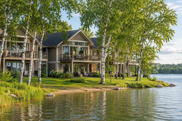


Get your bearings before you go.
Highway 371 runs along the west side of the area. County Road 16 leads east from near Jenkins through Ideal Corners, and County Roads 3 and 66 bring you into Crosslake. Use the lake map to see how the communities fit together, then open the byway map for the roads and turns.

Three scenic drives around the Chain
The Paul Bunyan Scenic Byway covers 54 miles in two connected loops. These three stretches make good starting points for a drive of your own. Pick one and leave time to stop along the way.
County Road 16
Jenkins to Crosslake
From Highway 371 near Jenkins, head east along the south side of the Chain through Ideal Corners. At County Road 66, turn south toward the Pine River Dam and Crosslake.
County Roads 66, 1 & 15
Crosslake to the north side
Take County Road 66 through Manhattan Beach, turn west onto County Road 1, then use County Road 15 to return south toward Jenkins. Continue west on County Road 1 for Pine River.
County Roads 11 & 3
Pequot Lakes through Breezy Point
Head east from Pequot Lakes on County Road 11 through Breezy Point. Turn north on County Road 3 into Crosslake, where the road becomes County Road 66 at the dam.
Route details from the MnDOT byway corridor plan.
Before you head out
Check the road you'll take
Use MnDOT 511 for state highway conditions. For county roads, check the county's construction updates. If your route crosses into Cass County, consult the notices for that part of the drive as well.
Minnesota 511 Crow Wing County road projects Cass County road projects
Save the street address
Use the address of the entrance, launch or pickup point. A Pequot Lakes or Pine River mailing address can take you well outside downtown, and the office and boat pickup can be in different places.
Plan the boat trip separately
A place across the bay can take longer to reach by road than it looks on a map. If you plan to arrive by boat, confirm public access, a place to tie up and the route back.
Take the long way around the Whitefish Chain
A road through the pines, a walk beside the dam and enough time to follow a turn you hadn't planned.
From the passenger seat, the first glimpse of the Chain might be a flash of water between the pines. It disappears before you've worked out which lake it was. A little farther on, there's a road down to the water or a place you meant to stop on the last trip. Give yourself an afternoon when you can take one of those turns. You'll come away knowing more about the Chain than you would from driving straight to the dock and back.
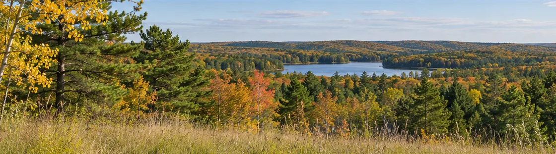
Start with the road people come back to
County Road 16 is the stretch to take if you're curious about the south side of the Chain. Starting near Jenkins, it puts you on the same road families use to reach lakeside resorts, wooded cabin lanes and Ideal Corners. For long stretches, the trees stand between you and the water. Then the landscape opens briefly, and you begin to see how close the lakes can be even when the road between them feels tucked away.
Make a stop before you get to Crosslake. There's no need to pack a whole day's itinerary into this stretch. A walk at a public trail, a lunch stop, or a few minutes with the lake map can give you more of a sense of where you are than another hour in the car. If you're choosing a place to stay, this is also a good time to notice what's near your cabin and what you'd be happy to drive a little farther for.
Give Crosslake an hour on foot
At the Cross Lake Recreation Area, the Pine River Dam gives you a point of reference you can keep for the rest of the trip. Stand where you can see the lake and the river and you'll have a better feel for why Crosslake developed here. The recreation area is run by the U.S. Army Corps of Engineers. Make some time for the nearby Historic Log Village if it's open, or read the story of the timber dam beneath today's structure before you go.
It's easy to make Crosslake the turnaround and spend the evening close to town. If you have more daylight, stay on County Road 66 and head through Manhattan Beach toward County Road 1. For a larger loop, take County Road 15 south toward Jenkins. For a different kind of stop, keep west on County Road 1 to Pine River. Decide at the turn when you know what the day has left in it.
Save the Pequot Lakes drive for another day
The southern leg feels different. County Road 11 links Pequot Lakes and Breezy Point before you turn up County Road 3 toward Crosslake. If you're traveling with someone who enjoys a few miles on a bike more than another hour in the car, start in Pequot Lakes. The Paul Bunyan State Trail is the paved recreation trail. For the drive, follow the Paul Bunyan Scenic Byway map.
You can make this a morning trip, leave the afternoon for the lake, and still feel as if you saw something of the area. Pick one walk or trail stop before you leave. Then choose where you'll have lunch once you know how much time you want to spend outside. If the weather turns, you can still have an enjoyable drive and leave the bike ride for a clearer day.
On a longer stay, give the paved trail its own morning. The DNR lists a trailhead in Pequot Lakes, so you can leave the car in town and ride an out-and-back as far as the group feels like going. Set your turnaround by time, with a little room for breaks and the ride back. If someone wants to skip the bikes, arrange to meet in town afterward. You can spend the morning apart and still sit down to lunch together before heading back to the water.
Choose a stop worth getting out for
A road trip can turn into a string of slow passes by places you meant to see. Pick a stop where everyone will want to get out and stretch. Near the south side of the Chain, the byway plan points to walking at Uppgaard Wildlife Management Area. In Crosslake, the dam is a natural first stop. If the day is built around a swim or a picnic instead, compare the public stops in the WFC parks and trails guide and check the details before you head out.
Keep the lake map handy at the stop. The view might open onto one corner of a bay while the rest of the lake stays hidden behind a point. If someone in the group knows the water, ask where the next channel goes. You can follow it with your finger even if the next leg of the afternoon is by car. Later, when you take the boat out, the names and turns will already sound familiar.
Leave yourself a way back
A late dinner in town and an early paddle are two different trips, even when they start at the same cabin. Save the right entrance for each one. If you rented a boat, keep the operator's pickup address and return instructions somewhere you can find them without searching again. If you're bringing a trailer, identify a second suitable launch before you're at the first one looking for room to park.
In autumn, a short loop leaves time for a walk under the changing leaves. In winter, check road reports before you commit to a long circuit and keep the day flexible if snow or low visibility sets in. On a summer weekend, give yourself a little more room between a launch, a reservation and the drive home. That is usually time you can spend at the water if everything goes smoothly.
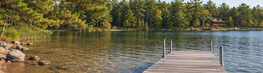
Make the ordinary drive, too
If you're looking at a lake home here, make one trip you'd make after the novelty of pulling into the driveway has worn off. Drive to town for groceries. Go back after dinner. If you plan to spend time here in winter, ask who plows the road and whether the driveway is maintained year-round. You'll learn how the place fits your life by trying the routes you would actually use.
Use the time between tours to learn a little about both ends of the drive. A place near the south side may put your usual errands on the way in from Highway 371. A different stretch of the Chain may give you the quiet approach you look forward to as soon as you leave town. Look at the two drives on the same day, while you can still remember exactly how each felt. If you expect to have guests often, send a friend the street address and see what route their map chooses. It can show you which turn you might want to explain on the way up.
Then come back to the shoreline. Listen for the traffic from the deck and notice where the late light lands. If you can picture the drive into town, the turn back toward the lake and the minute you step out of the car at the end of the day, you've learned something worth taking to your next tour. The Whitefish Chain lake guides can help you pick where to spend that next afternoon.