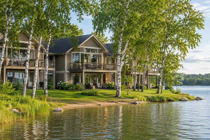


What should I look for first in a DNR lake report?
Confirm the lake name, county and DNR lake ID. Then check the survey date, the map and which records are available before comparing two lakes.

What a lake report can tell you before you go
Read the map, survey and stocking record in the right order to ask better questions about a Whitefish Chain lake.
A state lake report is more enjoyable to read when you have a reason to open it. Maybe you are taking someone fishing on a lake you have never used. Maybe you want to know where the water beside a place you are touring starts to get deeper. Start with the thing you want to understand. Then use LakeFinder to find the right water and the right kind of record. A map, a fish survey and a stocking entry answer separate questions. Put them together carefully and you can arrive with a better plan than you would get from assuming every lake with a familiar name is the same.
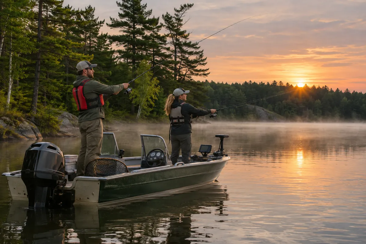
Make sure it is the right lake
Search Minnesota DNR LakeFinder by name and county and check the lake ID. The postal address of a property and the name on a lake report answer different questions. Use the report map to make sure you have the water you mean, especially when a lake name appears more than once in Minnesota.
Read the survey year before reading the table
Survey results describe what was sampled at a given time and with particular gear. A stocking record describes fish released in the lake. Compare the dates and methods before deciding what a difference in totals means. Use the DNR's survey explanation if a column or gear name is unfamiliar.
Bring the report back to the trip you are planning
A depth map can help you decide what part of a lake to explore. Check our Fishing guide for the links by lake and current DNR fishing regulations for the rules that apply to your trip. Use the boat launch map to confirm where you can put in.
Identify the exact water before doing anything else
Search by lake name and county and confirm the DNR lake number. That number can tell you more about which record you have than the mailing city of a house or the way somebody referred to the lake in conversation. Look at the outline and the other waters around it. On a connected chain, the boundary of the named lake in a report may differ from the area you traveled in one outing. If the report covers a larger water body than the place you want to understand, make a note of that before relying on it.
There may be maps, surveys or records missing for a lake. The absence of a particular record does not tell you what is in the water. It tells you what you can see from that source. Decide what other information you would need before making a comparison. If you are looking at two reports, confirm that both refer to the waters you intend to compare. A mismatch at the start produces a very confident answer about an entirely different place.
Use the depth map for the shape of a lake
Start with the shoreline and the part of the lake you can recognize. Notice the spacing of contour lines. Lines close together show depth changing over a shorter distance. Wider spacing can help you understand a more gradual change. Find the water around the part of the shore where you expect to spend time. Try a question you could check on the lake, such as where a broad shallow area transitions to deeper water. The map shows relationships that can help you plan, even if the place looks uniform from a dock.
Use current charts and conditions for navigation. A lake map does not give you the depth directly around your boat on the day you are there. Think about water level, conditions and whether the chart gives you the detail you need for the short approach to a shoreline or landing. If you are comparing places to stay or properties to tour, use the broad shape of the bottom for context. Ask the operator or owner what access is like at the actual place and confirm it in person when you can do so safely.
Read a survey as a sample taken a particular way
Look for the year the crew did its work and the kind of equipment used. Different methods can sample different sets of fish and habitats. A table can contain information about species, numbers or size without telling you what someone will catch during a weekend in a particular bay. Use the report to learn which questions the survey can help answer. If you see an unusual result, read the notes before deciding why it happened or whether it says anything about another year.
A useful comparison begins with similar records. Read the years, methods and comments together before comparing the numbers. If one was taken much more recently, keep that difference in view. If one method seems to find a type of fish more often, consult the DNR survey explanation and ask what that method does. The same caution applies if something does not appear in the table. It may be a difference in where, when or how the work was done. A calm reading will get you farther than turning a single number into a ranking of lakes.
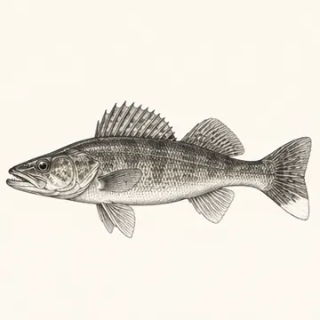
Treat stocking as its own record
A stocking entry is a record of fish released. Look at the species, timing and descriptions of the fish in the entry. Keep the release record separate from the survey that samples a population. A stocking number does not tell you how many fish will still be there later or whether the date you choose will be good for fishing. It does help explain some of the work the fisheries program does and how changes might be worth following over time.
If you want to know what is allowed, open the current regulations for the water you intend to fish. That is a separate check from which species appear in a survey. Confirm current rules, special regulations and any other information you need before leaving. Keep the current rule handy if you plan to fish several lakes. The fact that you can get between them by boat does not make all the advice for them interchangeable.
Compare the right scale before deciding what a number means
Suppose one lake report lists walleyes and another includes a stocking entry for the same species. A record of fish placed in the lake and a sample from a survey do not measure the same thing. Find out what was recorded, in which year, and which part of the water the report covers. Then decide whether the information helps answer your question. If the goal is a family fishing outing, the easiest launch and the prevailing wind may matter more to the day than the difference between two tables.
Do the same when reading a lake's surface area. A large total can be useful for understanding scale, and a small accessible bay may be the water a particular visitor will actually use. If you are choosing among the connected lakes, start with the DNR's identification and our Whitefish Chain lake guides. Use the map and report to look more closely at the places that already suit what you want to do.
Take one informed question to the water
Pick a sensible launch from the boating guide and choose a part of the lake that suits the weather and experience of your group. Use the report to choose something you would like to see for yourself. That might be a change in depth or the shape of a shoreline you had never thought to look at from the water. For a buyer, it might simply be a reason to spend more time checking the actual route from the house to the dock. The best use of a lake report is to put it away with a clearer idea of what you want to look for when you arrive.