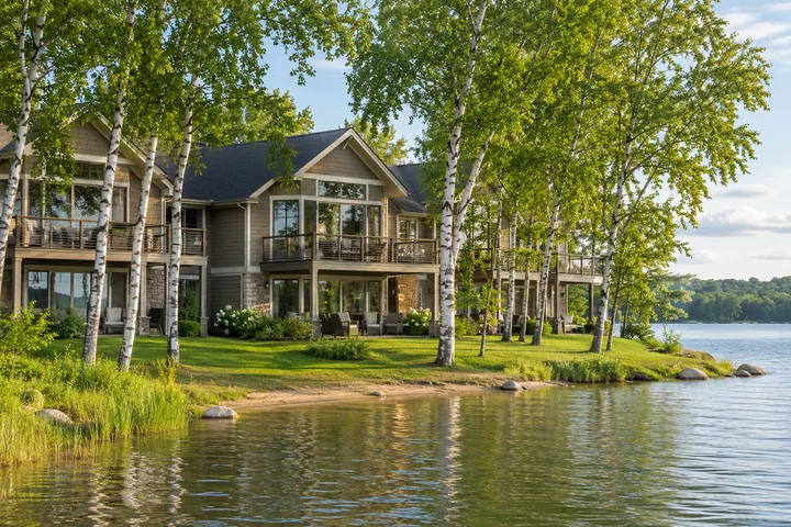


Where should I start a ride near the Chain?
Pequot Lakes and Jenkins are practical starting points. Use the DNR trail map to choose a ride length and confirm where to park.
Get Directions
A summer morning on two wheels
Make the Paul Bunyan State Trail an easy part of a Whitefish Chain stay, with a good turnaround and something to look forward to in town.
The bicycle can sit on the back of the car for three days at the lake before someone decides it is time to use it. That is a good argument for planning a short first ride. From a nearby trail town, you can make an hour on the Paul Bunyan State Trail fit between breakfast and the rest of the day at the cabin. Choose a stretch for the people who are actually riding, decide what would make a good place to stop, and avoid a schedule that has everyone staring at a watch on the ride back.

Make the ride fit the riders
The DNR's Paul Bunyan State Trail map is the best starting point. For a ride from the Whitefish Chain, look at Pequot Lakes and Jenkins first. Decide how far the least experienced rider will enjoy going and remember that anything you ride out has to be ridden back if you are returning to the same car.
Give the ride a destination
Start near Pequot Lakes if you want a stop in town. An easy morning can be as simple as coffee, a stretch of trail and lunch before you head back to the lake. Starting in Jenkins gives you another way to set up the route. Confirm trailhead parking and pay attention at road crossings.
Check conditions before unloading bikes
The trail runs 115 miles between Crow Wing State Park and Lake Bemidji State Park. The Pequot Lakes and Jenkins stretch is one piece of that route. Look for posted detours and maintenance on the DNR trail page. Bring water for the stretches between towns. If the day turns wet or windy, a shorter out-and-back is an easier choice than a long loop with a section on roads. For a walk without the bikes, see the Parks & Trails guide.
Look at the part of the trail you will actually use
The Paul Bunyan State Trail stretches across a large part of northern Minnesota. The length of the whole trail is interesting, but it has little bearing on an outing with a pair of children or a friend who has not ridden for a year. Open the DNR map at the part near the Whitefish Chain. Find where you can start and where you could stop. Compare parking, access from town and how far you will be from the car at the point you begin to feel tired. The safest plan on paper is one where a turn back still leaves you with a good story about the part you were able to ride.
A useful ride goal can be a mile marker, a view, a town stop or even one stretch without a road crossing. Pick a first goal everyone can reach without working too hard. If the group is doing well, save the longer distance for a day when you know how fast people actually ride together. The person bringing up the rear sets a more useful pace than the one in front. Set a point to regroup and make sure everyone knows the next turn before you set off.
Give Pequot Lakes and Jenkins different jobs
Use Pequot Lakes if you want time in town to be part of the ride. Look at where the trail meets the places you want to use. A group with a grandparent who wants to walk while others ride can make plans around a common departure point and an easy meeting time. The others can ride out from there and come back without anyone having to move the car. Leave bikes secured where permitted when you stop for lunch. There is no requirement to ride until noon if an hour outside is what the day can comfortably hold.
Jenkins gives you a different starting point. Check the current trail map and the place you will park instead of aiming for a pin in the middle of town. Starting there may fit better if you are staying toward the west side of the Chain or have already planned something in that direction. If you are going to meet friends along the way, give them a paved-road address or a named trail access point. A spot that makes sense to a rider watching mile markers can be difficult to explain to someone trying to find it from the road.
Prepare for the paved surface and the people using it
Pavement simplifies the ride. It still helps to check tires, brakes and anything you have mounted to the bike before loading it. Bring water, and take a basic repair kit if you are traveling beyond the easy walk back to the car. Put anything a child may need where an adult can reach it without unpacking every bag. If you borrow or rent bikes, take a few minutes near the starting point to adjust seats and get used to the brakes together. It is much easier to check a loose helmet or a low seat there than a few miles from the car.
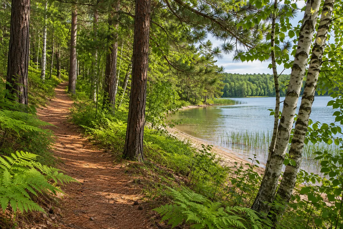
Give other people space. Explain how your group will call a stop or pass and how to pull off the traveled part of the trail when you are waiting. Study the road crossings on the map and slow down well before each one. Someone who is comfortable riding at home may need time to learn where traffic is coming from here. Keep younger riders within reach on unfamiliar approaches. If you arrive on a busy day, a measured ride with a good break can be much more enjoyable than trying to keep up with everyone who passes.
Let weather change the distance, not the whole outing
A hot morning can make the ride into town more attractive than an extra loop. Earlier starts often suit groups that want to be back by the water when the day warms up. On a fall ride, bring a layer you can reach easily and leave enough time for the return before daylight fades. A little planning at the car makes it easier to stop later when everyone sees a good place to take a breath. A ride around only one part of the route still gives you a chance to see the woods and towns from an entirely different pace.
If the weather changes or the trail is closed where you wanted to ride, switch to a shorter walk or spend the time in town. The trip does not depend on using the bikes simply because they are already on the rack. When conditions improve, the trail is still there. Open the official map again, pick another stretch your group can use confidently, and leave that afternoon free for the lake.
End somewhere you want to linger
Leave a little more time in town than the ride itself requires. The person who thought they would be happiest covering distance may be the one who wants to sit over a late lunch. A good first outing makes people want to bring their bikes again. Remember the stretch everyone liked, whether that was a few quiet miles among the pines or the easy return to town. Start there the next time you come up.
Make a longer ride easier to divide
If an all-day ride is the aim, give it two distinct parts and decide where to stop between them. Check that the break has the things the group needs, including water or a place to eat, rather than counting on an unfamiliar business to be open. If some riders want to leave early, plan an actual pickup point. Avoid making the slowest person feel as if they are holding the entire day together by riding farther than they wanted to.